
We operate the DJI Matrice 400 RTK, equipped with the Zenmuse L2 LiDAR and Zenmuse H30T imaging system, to deliver fast, safe, and highly accurate aerial surveys for construction, civil, and land development projects.
Unlike off-the-shelf drones, this is a professional-grade mapping system, operated by our trained team. We handle everything — flight planning, data capture, and post-processing.

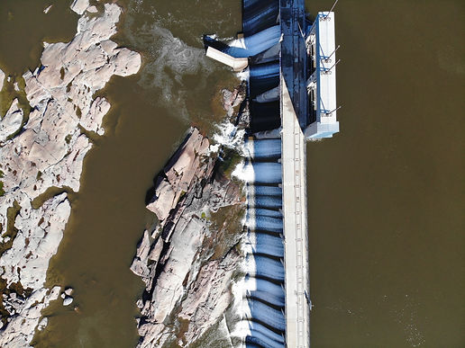
DJI MATRICE 400
photogrammetry

Photogrammetry is the process of using high-resolution drone photos to create accurate maps and 3D models of a site. By flying over an area and capturing overlapping images from above, we can generate detailed orthomosaics, elevation models, and measurement-ready data — all without setting foot on the ground.

lIdar
LiDAR (Light Detection and Ranging) uses laser pulses to create highly accurate 3D models of the ground and built environment. Unlike photogrammetry, LiDAR can capture elevation data through vegetation and in low-light conditions, making it ideal for complex or heavily wooded sites.
It’s best suited for topographic surveys, cut/fill analysis, and mapping uneven or vegetated terrain with high precision.
Thermal imaging
Thermal imaging captures surface temperatures using infrared sensors, revealing heat signatures that can’t be seen with the naked eye. From the air, it helps identify issues like heat loss, moisture intrusion, overheating equipment, or buried utilities.
It’s a powerful tool for inspections, safety monitoring, and identifying hidden problems across buildings, infrastructure, and active job sites.